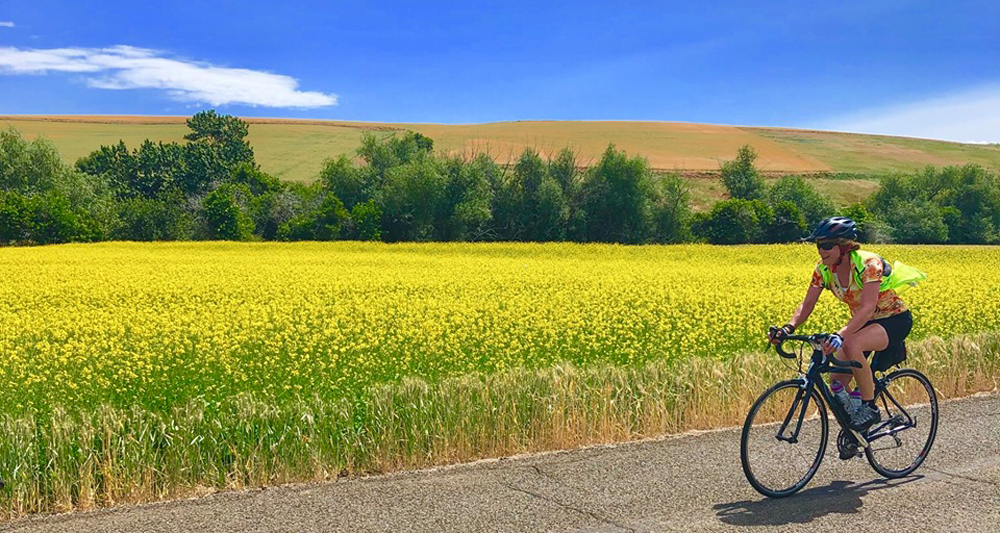
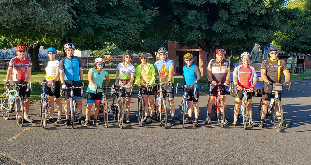
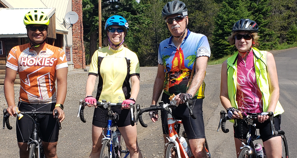
There’s not much traffic around here. You can make a good ride on just about any road in our region. For the more adventurous, try a cyclocross bike and hit the gravel roads!
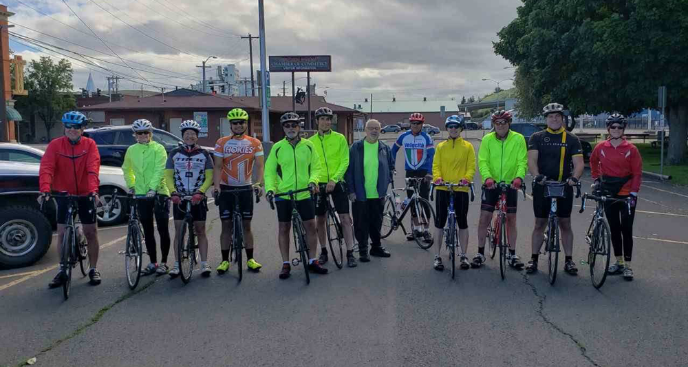
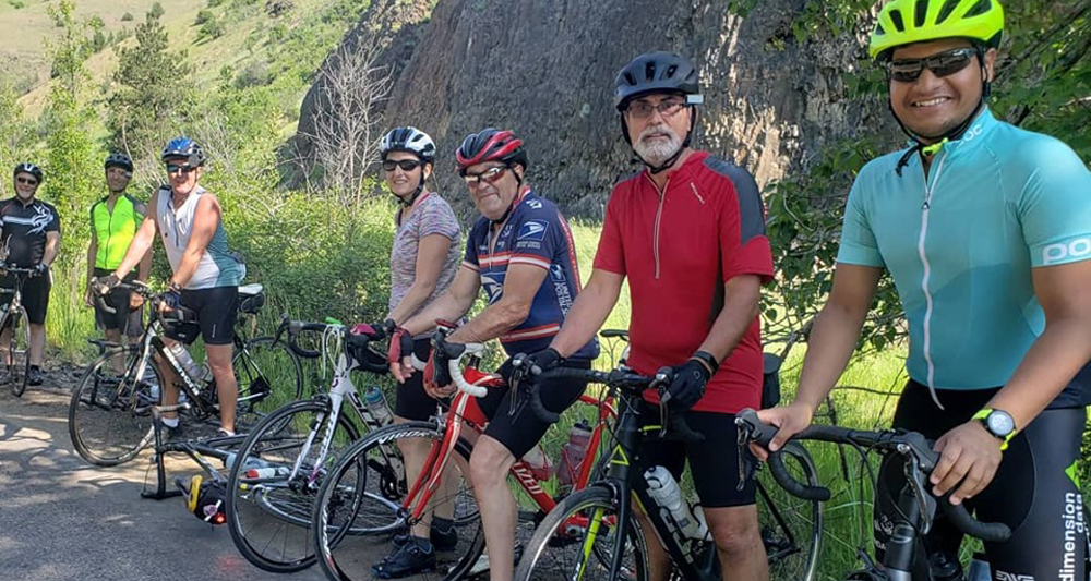
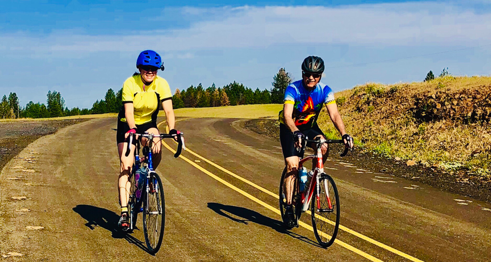
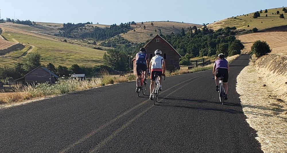
The rolling wheat fields of Pendleton and the Blue Mountains offer stunning and scenic views no matter where you ride. Our route map includes some of our members’ favorite rides and range from easy to challenging.
View popular routes on
Ride With GPS!
![]()
Trail Hiking, Running, & Mountain Bike Trails
PATRA Trails2014 POW Bike Map of Umatilla County
Download Bike MapLocal City Maps of Umatilla County
Download City MapSimple Route Guides and Map
Download Simple Bike Maps2025 miniCROC map
Check out the ride mapSimple Route Overviews – Great for beginners and visitors
Adams – Easy
Enjoy the scenery and light traffic along this easy ride out to Adams. Tackle the extended route for more mileage or head back into Pendleton. Approximately 29 miles (41 miles including the extension).
Bar M – Moderate to Challenging
The rolling wheat fields and rural mountain scenery in this moderate to challenging ride makes the trip memorable. Approximate distance is 64 miles.
Cabbage Hill Climb – Challenging
If you’re looking for a challenging ride, this is the one for you! The view from the top is worth the pain. Coast all the way back down or continue along the old highway to Meacham for more mileage. Approximately 55 miles, including Meacham.
Echo/Umatilla River Ride w/Despain Gulch Option – Moderate
This ride out the old Echo highway is stunningly beautiful. Follow the Umatilla River through the valley and enjoy riparian scenery and local wildlife. Enjoy a break at Echo and continue on through Stanfield and back Despain Gulch for more mileage or retrace your route along the river. Approximately 50 miles round trip (60 miles returning via Despain Gulch).
Pilot Rock – Easy to Moderate
A quick, easy to moderate ride is the Pilot Rock loop. If you want to stay off the main highway, follow the old highway road when you reach the top of the McKay Dam hill. Approximately 24 miles round trip.
Tutuilla Loop – Easy/Moderate
The Tutuilla Loop is an easy to moderate ride amid slightly rolling farmland to the south and east of Pendleton and back through Mission. Enjoy a break and refreshments at the Mission Store before returning to Pendleton. This route is approximately 25 miles round trip.